Making Data Work
For Infrastructures
Addressing engineering, GIS, and geospatial challenges with 5+ years of driving excellence.
Services
Engineering Services
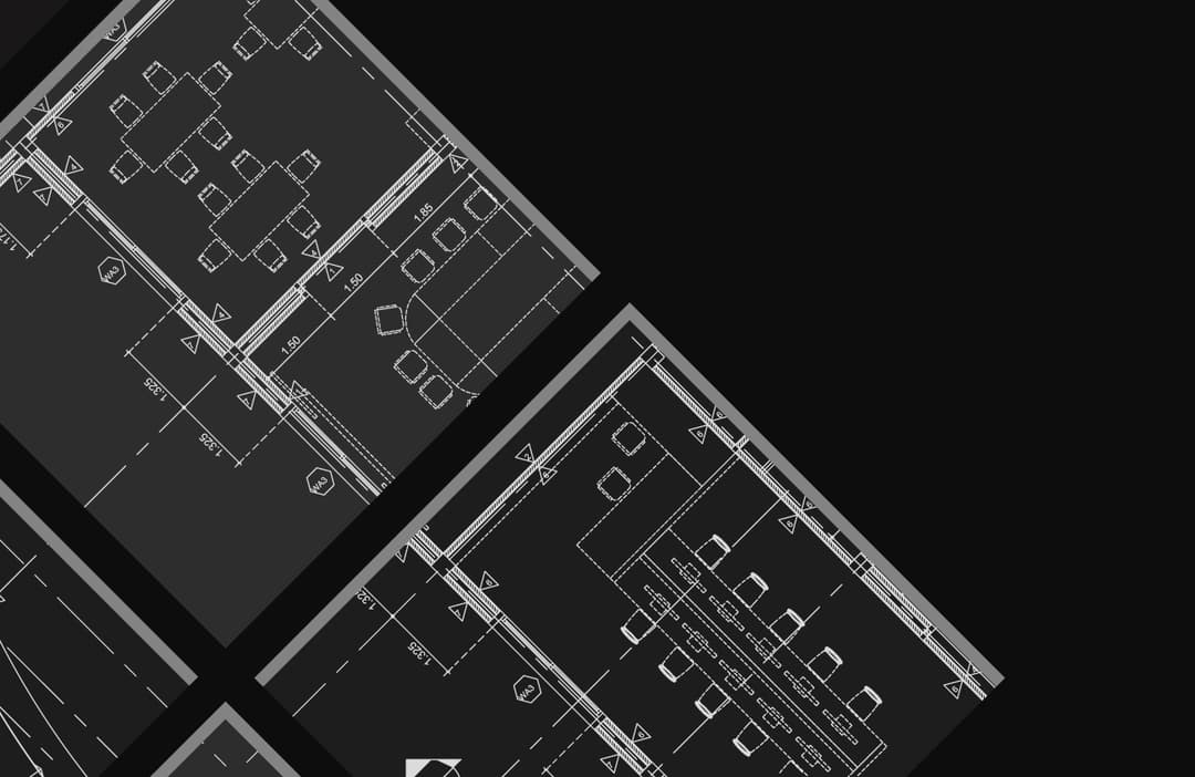
Contemporary building plans, structural analysis, and construction management.

Geospatial Intelligence
Strategic GIS services, spatial data analysis, and professional training.
About Us
Addressing Challenges
Making Data Work For You
At Jayvee Consultants, we are involved in addressing engineering, GIS and geospatial related challenges while making data work for you. With our combined 5 years of experience, we have successfully completed 30+ projects, delivered 200+ maps, and helped clients across the USA and Australia, turn complex problems into actionable solutions.
Geospatial Expertise
Core focus: Spatial technologies for impact
- Geospatial automation & programming
- Spatial analysis & cartography
- Remote sensing & imagery processing
- Geostatistics
- Spatial data science
Civil Engineering
- Structural analysis
- 3D modelling
- Hybrid construction (timber & RC)
- Resilience and robust designs
- Infrastructure risk assessment
Why Work With Us?
Certified Expertise
Credentials from Esri, Google, and UC Davis ensuring industry-standard results.
Scalable Solutions
From small tasks to large-scale projects, we deliver results that matter.
Client-Centric Service
Prioritizing clients' satisfaction with clear communication and timely delivery.
What sets us apart?
With a mix of team members with strong academic backgrounds and experiences spanning GIS, engineering, and data analysis, we bring a unique combination of skills to the table. Our global perspective and passion for infrastructure resilience, sustainability, and climate adaptation ensure that every project we work on has lasting value.